
About GPS Tools® -Navigate & Explore
Learn more about this application's features and capabilities.
GPS Tools is an all-in-one navigation utility designed for users who require precise location data and environmental insights in a single mobile interface. Whether you are an outdoor enthusiast, a professional surveyor, or a frequent traveler, this software consolidates multiple sensors and data points to solve the problem of app clutter. Instead of switching between separate compass, altimeter, and speedometer applications, users can access a comprehensive suite of instruments that work offline and provide real-time updates on coordinates, altitude, and signal strength.
Core Features of GPS Tools
- Comprehensive Dashboard: View real-time latitude, longitude, altitude, and speed within a single, high-contrast interface.
- Precision Compass: Integrated digital compass with support for both true north and magnetic north orientation.
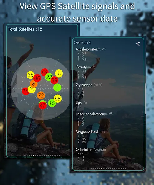
- Satellite Monitor: Detailed visualization of available satellites, signal-to-noise ratios (SNR), and fix accuracy.
- Mapping and Tracking: Record paths, save specific waypoints, and export location data for later analysis.
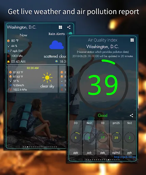
- Environmental Sensors: Access integrated tools for weather updates, UV index, and atmospheric pressure where hardware permits.
Practical Use Cases
- Hiking and Trekking: Use the altimeter and offline compass to navigate trails where cellular data is unavailable.
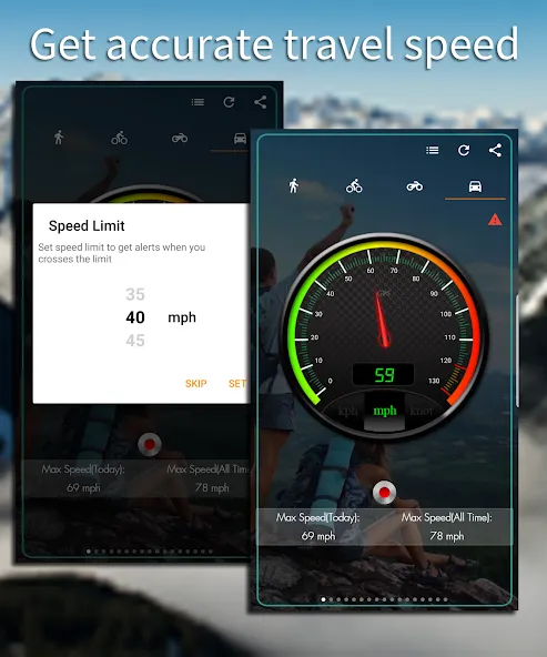
- Vehicle Performance: Monitor accurate ground speed and trip distance via GPS-based speedometer tracking.
- Photography: Pinpoint exact coordinates and altitude for geotagging professional landscape shots.
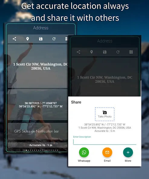
- Urban Navigation: Quickly find and share current location addresses and coordinates for emergency or meeting purposes.
Why Choose GPS Tools
This platform stands out by prioritizing data accuracy and battery efficiency. By aggregating various location-based utilities into one tool, it reduces the system overhead of running multiple background processes. It is a reliable companion for environments where precision is non-negotiable and connectivity is intermittent.
Pros and Cons
Pros
- Fast satellite acquisition and fix times.
- Clean, ad-light interface focused on utility.
- Support for multiple coordinate formats (UTM, MGRS, Lat/Long).
- Works effectively in offline mode with cached data.
Cons
- Requires specific hardware sensors (like a barometer) for all features to function.
- High battery consumption during continuous background tracking.
Final Verdict
GPS Tools is a robust and versatile utility that replaces a dozen standalone niche apps. It provides a balanced mix of technical data for professionals and intuitive navigation aids for casual explorers, making it a staple for any outdoor-oriented smartphone.
Ratings & Reviews
Please log in to write a review.
No reviews yet. Be the first to rate!