


About Multi-Stop Route Planner
Learn more about this application's features and capabilities.
The Batch Geocode & Maps app provides a streamlined solution for professionals and businesses needing to convert physical addresses into precise geographic coordinates. By automating the conversion of bulk address lists into interactive map data, this software eliminates the manual effort typically required for spatial analysis. It is designed for logistics managers, real-sales professionals, and researchers who require a reliable tool to visualize large datasets on a mobile platform.
Key Features of Batch Geocode & Maps
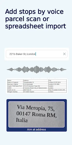
- Bulk Address Processing: Import multiple locations simultaneously to save time on data entry.
- Coordinate Conversion: Transform standard postal addresses into latitude and longitude data instantly.
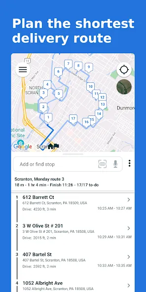
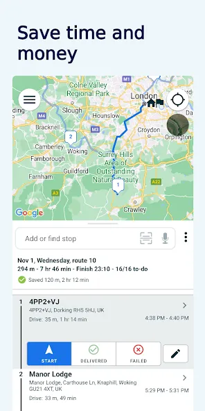
- Interactive Map Visualization: View all geocoded points on a high-resolution map interface for better spatial context.
- Data Export Options: Move your geocoded results into various formats for use in other professional platforms.
- Custom Markers: Categorize and distinguish different locations using customizable visual indicators.
Practical Use Cases
- Sales Territory Mapping: Organize client locations to optimize daily travel routes and coverage.
- Logistics and Delivery: Map out distribution points to identify the most efficient delivery clusters.
- Real Estate Analysis: Visualize property listings across a specific region to identify market trends.
- Event Planning: Coordinate multiple venue sites or guest locations for large-scale logistics.
Why Choose Batch Geocode & Maps
This platform bridges the gap between raw spreadsheet data and actionable visual intelligence. Batch Geocode & Maps focuses on utility and speed, ensuring that users can process hundreds of addresses without the need for complex desktop GIS software. Its straightforward interface makes it an accessible tool for field-based teams needing immediate location insights.
Pros and Cons
Pros
- Fast processing speeds for large datasets.
- Clean, professional interface focused on utility.
- Reduces manual errors associated with manual coordinate entry.
Cons
- Requires a stable internet connection for geocoding services.
- Mobile screen size can limit the view of very dense data clusters.
Final Verdict
Batch Geocode & Maps is a highly efficient utility for anyone needing to translate text-based location data into a visual format. It balances technical accuracy with a user-friendly mobile experience, making it an essential tool for on-the-go spatial management.
Ratings & Reviews
Please log in to write a review.
No reviews yet. Be the first to rate!