


About 2GIS: Map, Navigation, Tracker
Learn more about this application's features and capabilities.
2GIS is a comprehensive mapping and navigation platform designed for urban commuters, travelers, and local business seekers. It solves the problem of unreliable navigation in complex urban environments by providing high-detail 3D maps that function without an active internet connection. This software is ideal for users who need precise building entrances, floor plans for shopping malls, and accurate public transport schedules in a single interface.
Key Features
- Offline Functionality: Download full city databases to access maps, GPS navigation, and business directories without mobile data.
- Detailed Directories: Access information on local businesses, including operating hours, contact details, and specific building entrances.
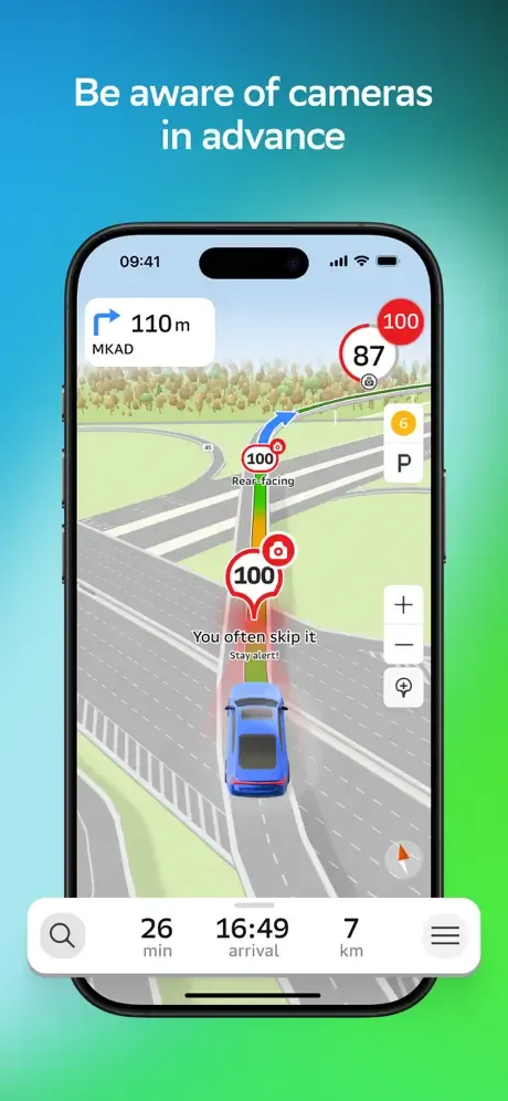
- Precision Navigation: Receive lane-level guidance and real-time traffic updates to optimize travel routes.
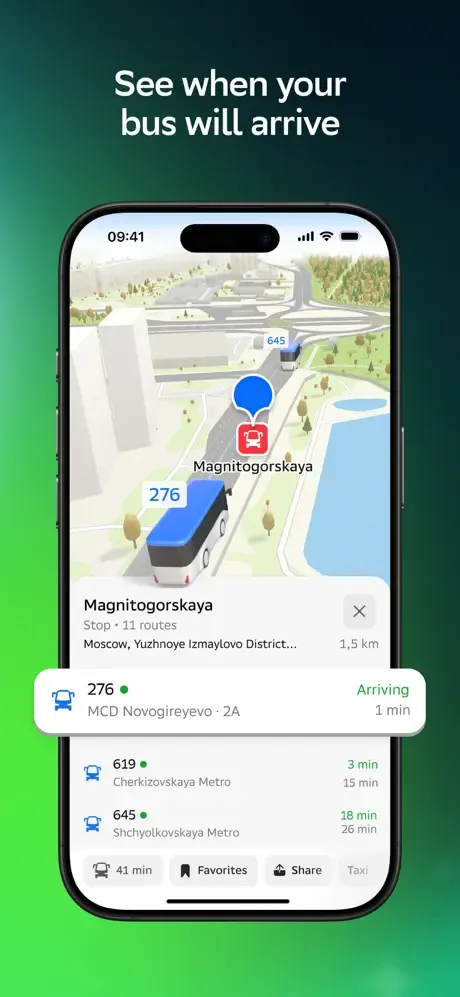
- Public Transport Tracking: Monitor the real-time location of buses and trams to minimize waiting times at stops.
- Indoor Mapping: Navigate through large shopping centers, airports, and stations with integrated floor plans.
Use Cases
- Data-Free Travel: Navigating foreign or remote cities where roaming charges or poor signals prevent online map usage.
- Commercial Logistics: Finding specific loading docks or service entrances for delivery and courier tasks.
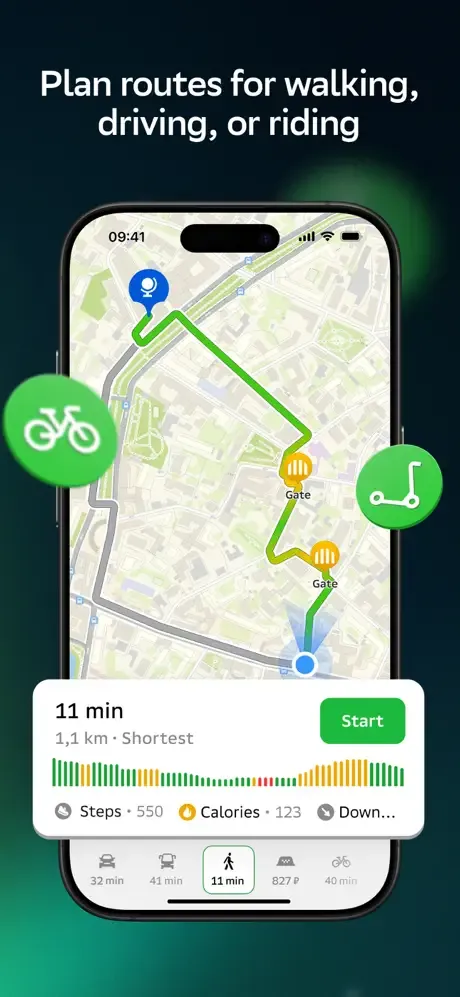
- Pedestrian Routing: Using pedestrian-specific paths and shortcuts that are often omitted by standard GPS tools.
- Business Discovery: Searching for local services like pharmacies or cafes that are currently open nearby.
Why Choose 2GIS
As a specialized navigation tool, 2GIS stands out by offering more than just coordinates; it provides a detailed digital twin of the city. The platform's commitment to accuracy ensures that users find not just the building, but the exact door they need, significantly reducing time wasted in transit.
Pros and Cons
Pros
- Highly accurate 3D visualization of buildings and landmarks.
- Reliable offline search and routing capabilities.
- Comprehensive data on local service providers and public utilities.
Cons
- Large file sizes for offline city map downloads.
- Interface may require a learning curve due to the density of information.
Final Verdict
2GIS is a powerful utility for anyone requiring granular urban data and dependable offline navigation. It successfully bridges the gap between a standard map and a local business directory, making it a vital tool for efficient city living.
Ratings & Reviews
Please log in to write a review.
No reviews yet. Be the first to rate!