About Google Earth
Learn more about this application's features and capabilities.
Google Earth is a sophisticated geographic exploration tool that allows users to navigate the globe through high-resolution satellite imagery and 3D terrain modeling. It serves students, researchers, and travel enthusiasts by providing a digital window into remote locations, solving the problem of physical and financial barriers to global exploration. The software integrates vast amounts of geospatial data to offer a comprehensive view of both natural landscapes and urban environments.
Key Features
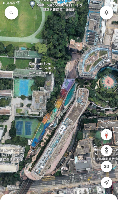
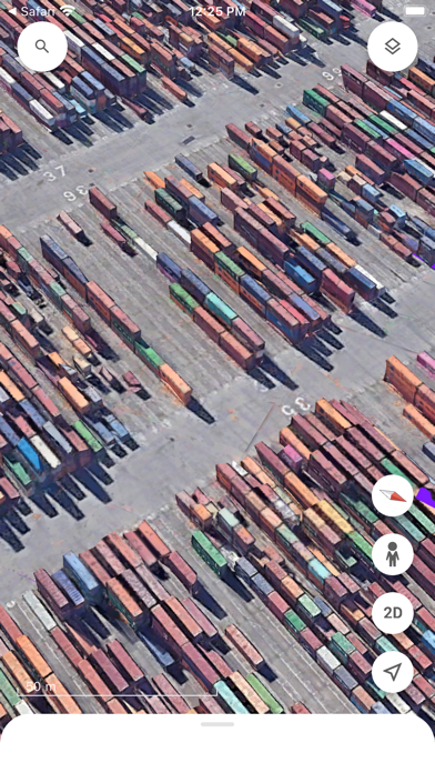
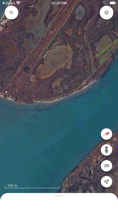
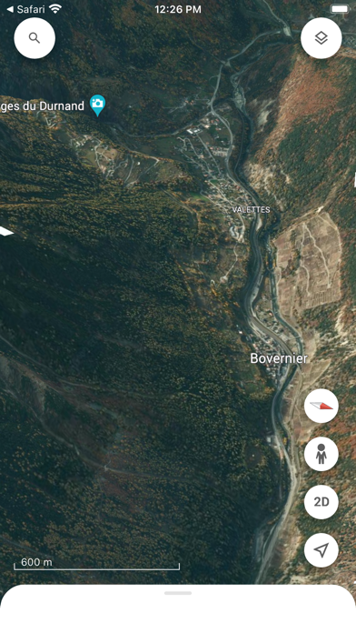
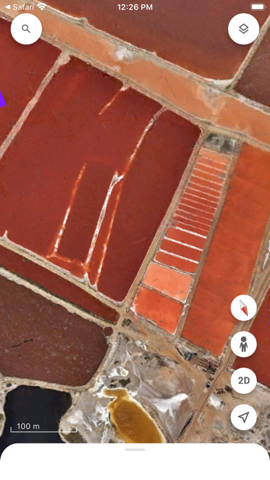
- Satellite Imagery: Access high-resolution overhead views of almost any location on the planet.
- 3D Buildings and Terrain: Explore cityscapes and mountain ranges with realistic three-dimensional rendering.
- Voyager Stories: Engage with interactive guided tours curated by scientists and documentary filmmakers.
- Measuring Tools: Calculate distances and surface areas of specific geographic regions accurately.
- Historical Imagery: View past versions of locations to observe environmental or urban changes over time.
Use Cases
- Educational Research: Students can use the platform to study geological formations or human impact on ecosystems.
- Travel Planning: Users can scout vacation destinations and surrounding neighborhoods before booking trips.
- Real Estate Assessment: Professionals can analyze the topography and proximity of specific land parcels.
- Environmental Monitoring: Researchers can track deforestation, urban sprawl, or glacial retreat.
Why Choose Google Earth
This platform stands out as a premier geographic tool because it combines ease of use with professional-grade data. The benefits of using such a versatile software include instant access to global mapping without the need for specialized hardware, making complex geospatial information accessible to the general public.
Pros and Cons
Pros
- Unmatched database of global satellite and street-level imagery.
- Smooth navigation controls for mobile and desktop interfaces.
- Completely free access to premium-quality mapping data.
Cons
- Requires a high-speed internet connection for seamless 3D rendering.
- Some rural or remote areas may have lower image resolution.
Final Verdict
Google Earth remains the definitive software for digital exploration and geographic education. It offers a balanced mix of accessibility and detail, making it an indispensable tool for anyone looking to understand the world from a new perspective.
Ratings & Reviews
Please log in to write a review.
No reviews yet. Be the first to rate!