
About GPS Map Camera : Geo Timestamp
Learn more about this application's features and capabilities.
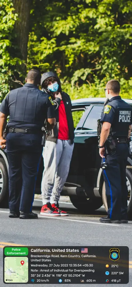
GPS Map Camera is a specialized photography tool designed for professionals and hobbyists who need to document the exact location and time of their images. This software solves the problem of organizing field data by embedding real-time GPS coordinates, addresses, and timestamps directly onto photos. It is an essential platform for individuals in construction, real estate, logistics, and travel who require verifiable proof of presence and progress.
Key Features
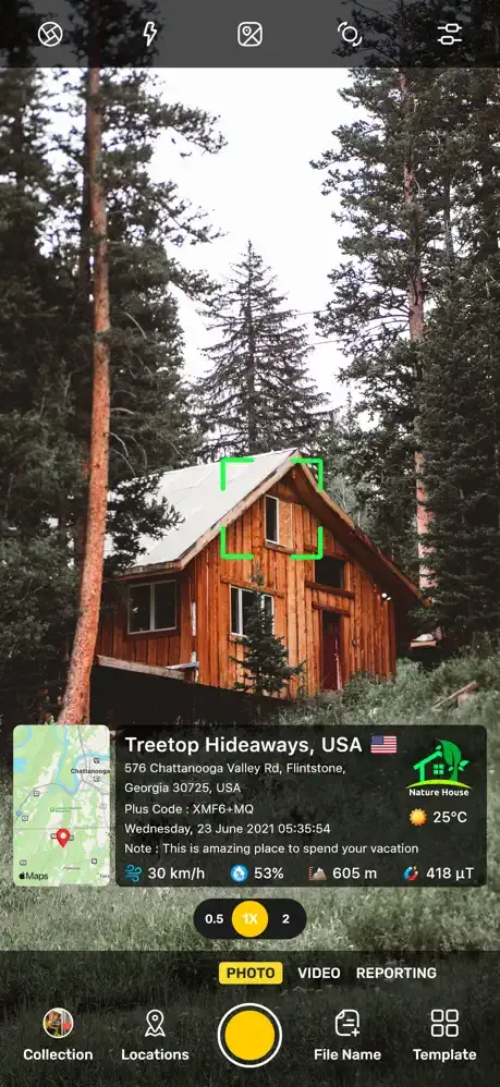
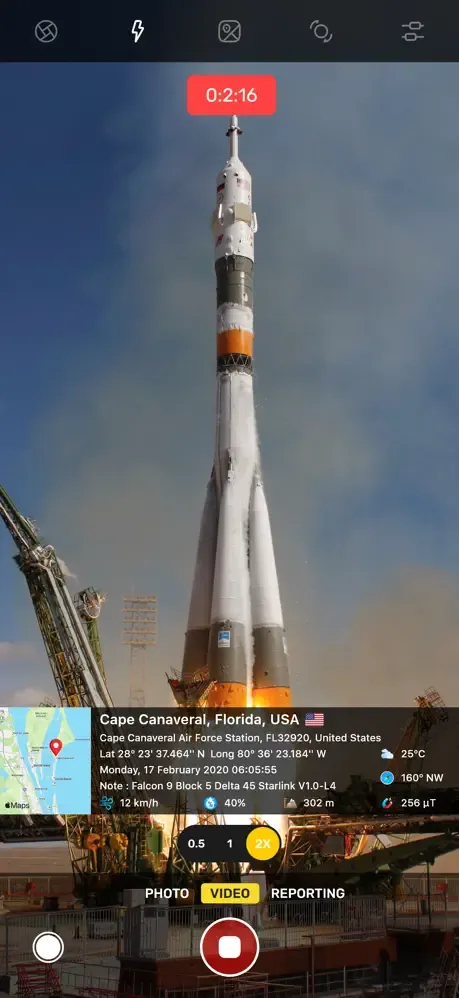
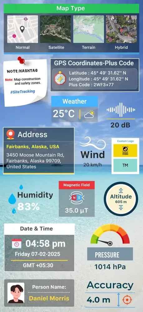
- Automatic Geotagging: Embeds latitude, longitude, and altitude data directly into the image metadata and overlay.
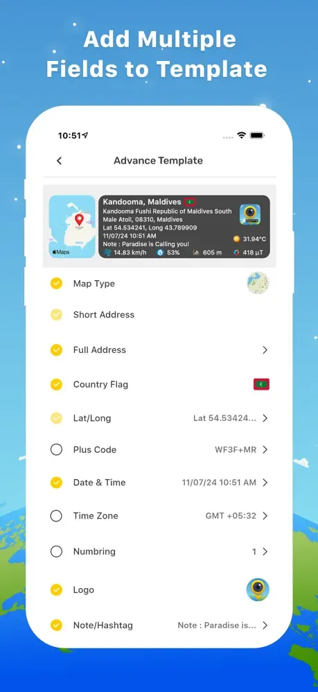
- Customizable Templates: Offers various layouts to display address, date, time, and custom notes on the photo.
- Real-time Map Overlay: Integrates a small map view on the camera interface to visualize the current position while shooting.
- Magnetic Compass Integration: Displays directional data to provide context for the orientation of the photograph.
- High-Resolution Support: Captures clear images while maintaining the integrity of the embedded data stamps.
Use Cases
- Construction Site Monitoring: Document daily site progress with precise location data for architectural audits and reporting.
- Real Estate Inspections: Provide proof of property condition and location for appraisals and insurance claims.
- Travel Documentation: Record exact coordinates of remote landmarks to revisit them or share precise locations with others.
- Logistics and Delivery: Verify the successful drop-off of goods with a time-stamped and geo-located photograph.
Why Choose GPS Map Camera
This tool streamlines the workflow for professionals who previously had to manually record location data for their photo logs. By automating the data overlay process, the software ensures accuracy, reduces administrative errors, and provides a professional standard for field documentation.
Pros and Cons
Pros
- Accurate synchronization with global positioning systems.
- Flexible stamp customization to suit various professional needs.
- Easy integration with existing mobile photo galleries.
Cons
- Continuous GPS usage can increase battery consumption.
- Accuracy may fluctuate in areas with heavy cloud cover or tall buildings.
Final Verdict
GPS Map Camera is a reliable and practical solution for anyone requiring geographic accountability in their photography. It balances ease of use with robust data features, making it a top-tier utility for professional field documentation.
Ratings & Reviews
Please log in to write a review.
No reviews yet. Be the first to rate!